
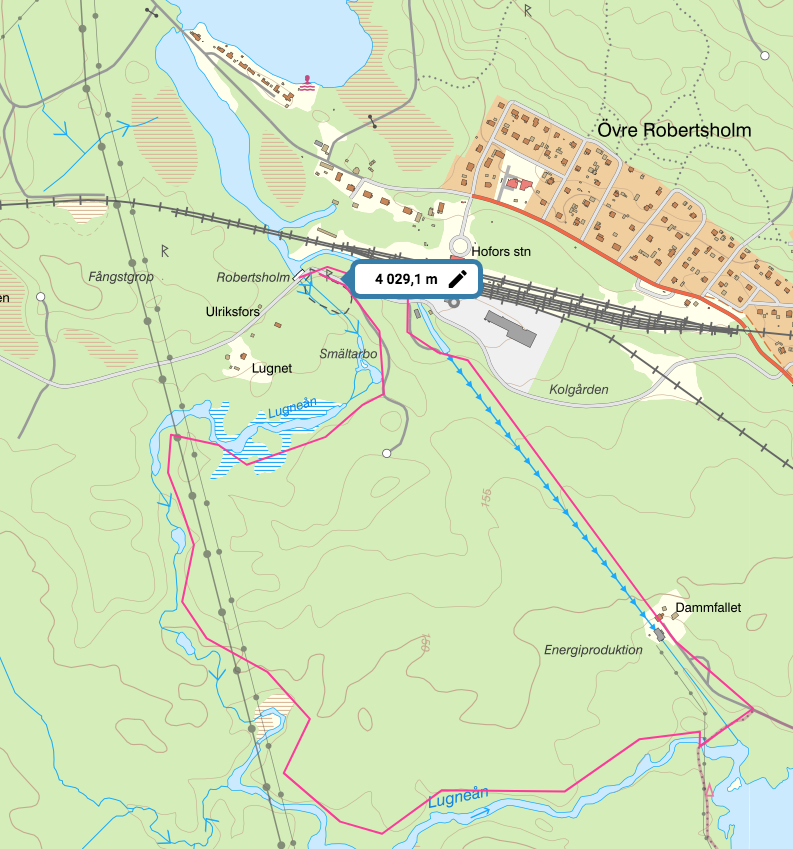
One possible round route of 4 km following the river Lugneån that feeds into the river Hoån and the hydroelectric installation that provides Hofors with electricity.
Rivers are held as sacred in India. It is not uncommon for people to undertake long pilgrimages to walk from their source to the sea. The People’s Water Commission on Drought and Floods, https://pwcdf.org/ an NGO co-founded by the International Association of Advanced Materials, based in Ulrika, Sweden, has had the idea, inspired by the Indian example, that people in their local areas set up a water walk to better engage with the water systems in their local areas. One of the main purposes would be to engage people in preparing for possible droughts and floods as the climate changes.
Hofors Green Ring project envisages a mature forest around Hofors as a protection against droughts and floods as well as a place of recreation and nature preservation. We thought we might try the idea of including a water walk. We mapped out what might be a good place to start on the map below. The northernmost point of the town where the river HOÅN gets its water, from the lake system Tolvan and Hyn. Point (1) on the map.

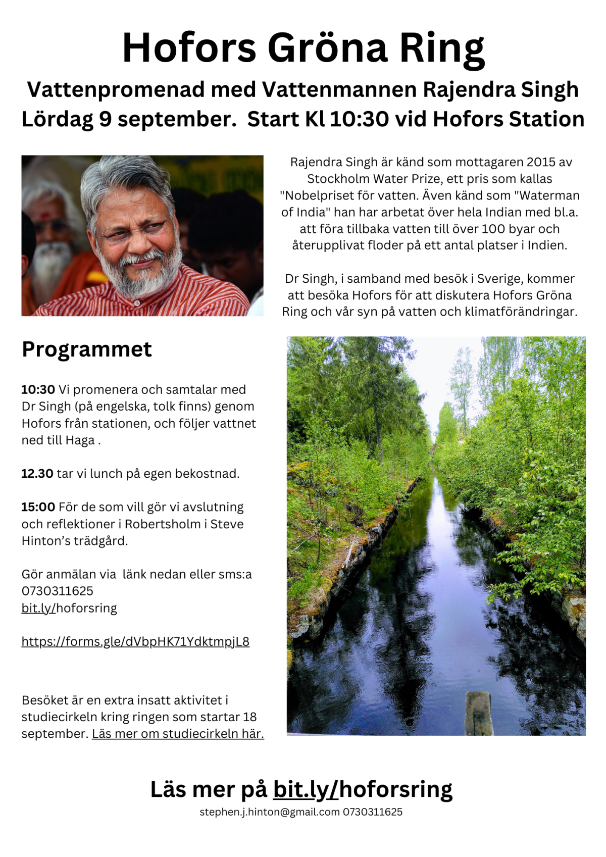
Dr Rajendra Singh, the 2015 recipient of the Stockholm Water Prize, an award known as the “Nobel Prize for Water, also known as the “Waterman of India” he has worked across India including bringing water back to over 100 villages and reviving rivers in a number of places in India.

Dr Rajendra Singh
Water walking is one technique he uses when going to a new place. Dr Singh, in connection with a visit to Sweden, visited Hofors to discuss Hofors’ Green Ring and our view on water and climate change. We asked Dr Singh to join us on a possible route.
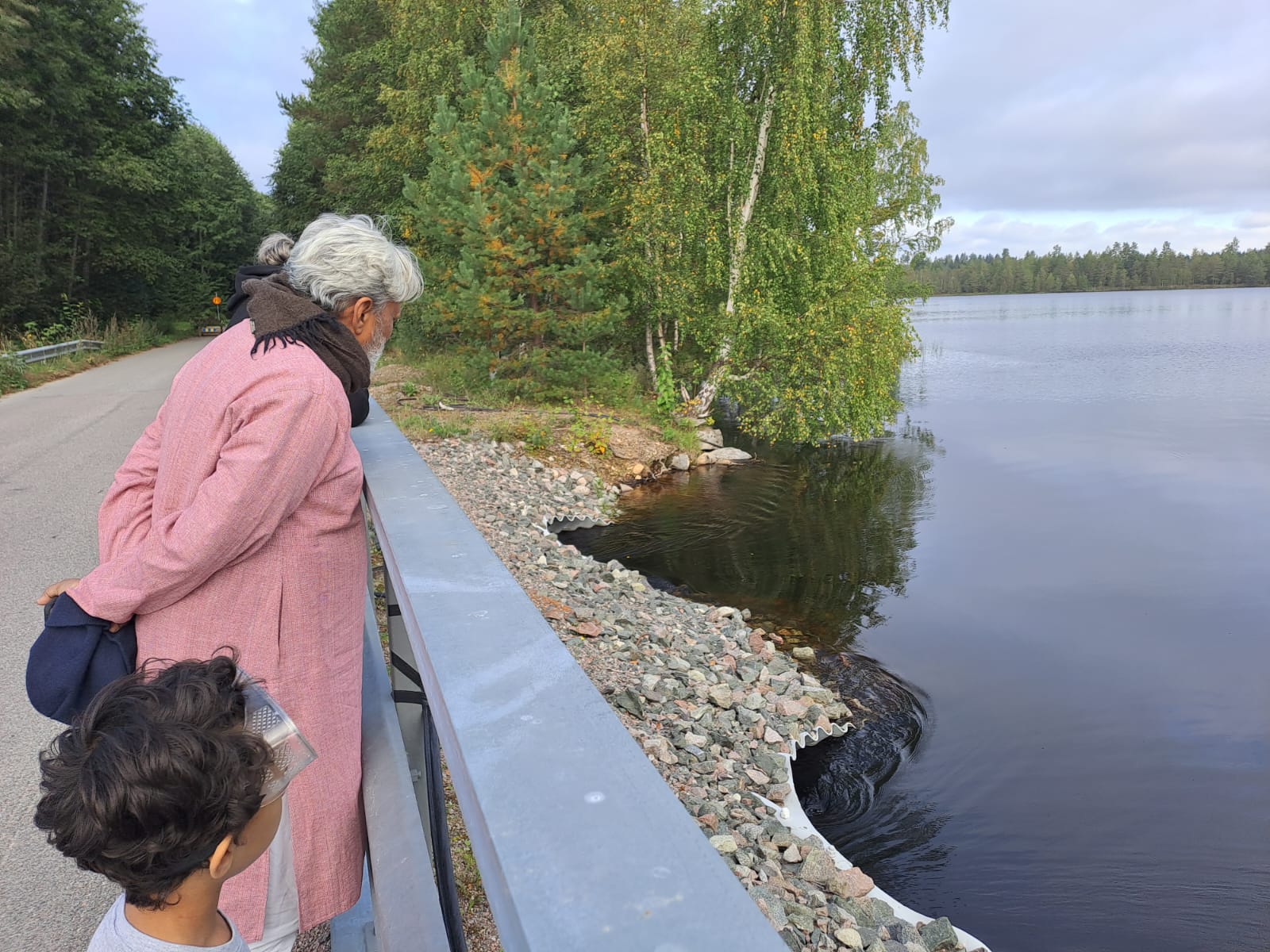
Dr Singh looks out over Tolvan at the start of our walk
Walking back through history
A long time ago, maybe the 1400s, someone had the vision that the falls (fors) on the river Ho could produce the water power to drive the iron industry. Indeed, Hofors is one of the earliest sites of iron working in Sweden. From that vision, an iron working plant grew, providing employment and prosperity for many hundreds of people and the town Hofors grew up around the works. As you see from the larger map (8) the works take up a large part of the town.

Larger map of the town showing a possible walking route in red
It was around the early 1900s that the last dam on this stretch of river was made, just close to where the lake Tolvan flows into the river system (2). By the way, just behind this dam is the station. The plaque on the wall commemorates the opening of the railway in 1859, the first in Sweden. This railway had also to do with the metal industry: it transported copper from Falun to the harbour in Gävle for transport by sea.

The water was flowing at the fastest I have ever seen it. Normally just a trickle during most summers, water was gushing out into the river. This is maybe a sign of what is to come. Anyway, they built a canal that passed a sawmill (possibly to transport logs) and from there the water is transported in a tube down to a turbine house with a generator to give the steelworks the extra power it needed.


The Turbine house at the end of the tube
From the turbine we walked down to the lake “Hammer dam” where water was stored to regulate the power to the giant hammer used to forge the iron to better quality. The actual turbine was the first installation for the then Swedish Company ASEA, which has grown into the international giant ABB. The location of the dam is close to (9) on the larger map.
Along the dam lake is the local waterworks, providing clear drinking water for the local community.
What did we learn?
Some reflections came from the walk: The first one is that walking and talking about drought and flood is a lot more concrete than talking about climate change. The topic can really engage people. Dr Singh pointed out that all life requires water, and increasingly we all need to engage in ensuring that the water cycles work for nature and for humans together. Being in the place, walking with inspired and knowledgable people, you start to get a better feeling for our responsibility.
Forests help regulate water
Some things we saw along the way: The forests on the surrounding hills have been clear-felled, they must affect water run-off and quality, for us it was unclear exactly how.
Cellars might be a thing of the past
Most of the houses close by the station have cellars. Due to the risks of flooding, (many have recently had water in their cellars) the new building codes in some parts are requiring the house is built without a cellar, and that it stands higher than the road. This is to ensure adequate run-off in a skyfall.
Our forefathers had vision
You get to think about history along the walk: how the original water power people were thinking – they saw the potential for this industry. The building housing the turbine was built of slagstone from the foundry – this is very solid building material, showing a circular economy thinking.
A green & pleasant modern society is possible
The area is very pleasant,and green, the tops of a wind turbine can be seen in the distance. You get to thinking that maybe it is possible to have a green technical society that is pleasant to live in and with a very light environmental impact. One that is multi-functional: a dam for hydroelectric generation that is a great place to walk, with very old growth forest to shade to shade it. A society that is grateful for the forefathers for their wisdom and vision for the place, but that thinks generations ahead.
Knowledge, insight, recreation and ice cream – not too bad!
A walk, with people with insight and knowledge like Dr Singh could be valuable for citizens expert and even schoolchildren.
Not shown on the map is the next part of this possible walk, at the base of the lake is a very nice ice-cream kiosk, (9) and further down from that is an excellent cafe (10).
So apart from being an interesting walk in history, a place of dialogue and reflection, the walk could make a great day out!
